A heavily populated area may experience compounding effects of shaking.
A recent study published in Nature Communications reveals that a massive earthquake 2,500 years ago dramatically shifted the course of one of the world’s largest rivers. This previously undocumented seismic event rerouted the main channel of the Ganges River into present-day, densely populated Bangladesh, an area that continues to be at high risk for significant earthquakes.
Scientists have documented many river-course changes, called avulsions, including some in response to earthquakes. However, “I don’t think we have ever seen such a big one anywhere,” said study coauthor Michael Steckler, a geophysicist at Lamont-Doherty Earth Observatory, which is part of the Columbia Climate School. It could have easily inundated anyone and anything in the wrong place at the wrong time, he said.
Lead author Liz Chamberlain, an assistant professor at the Netherlands’ Wageningen University, said, “It was not previously confirmed that earthquakes could drive avulsion in deltas, especially for an immense river like the Ganges.”
The Ganges River System and Natural Avulsions
The Ganges rises in the Himalayas and flows for some 1,600 miles, eventually combining with other major rivers including the Brahmaputra and the Meghna to form a labyrinth of waterways that empty into a wide stretch of the Bay of Bengal spanning Bangladesh and India. Together, they form the world’s second-largest river system as measured by discharge. (The Amazon is first.)
Like other rivers that run through major deltas, the Ganges periodically undergo minor or major course changes without any help from earthquakes. Sediments washed from upstream settle and build up in the channel, until eventually, the river bed grows subtly higher than the surrounding flood plain. At some point, the water breaks through and begins constructing a new path for itself. But this does not generally happen all at once—it may take successive floods over years or decades. An earthquake-related avulsion, on the other hand, can occur more or less instantaneously, said Steckler.
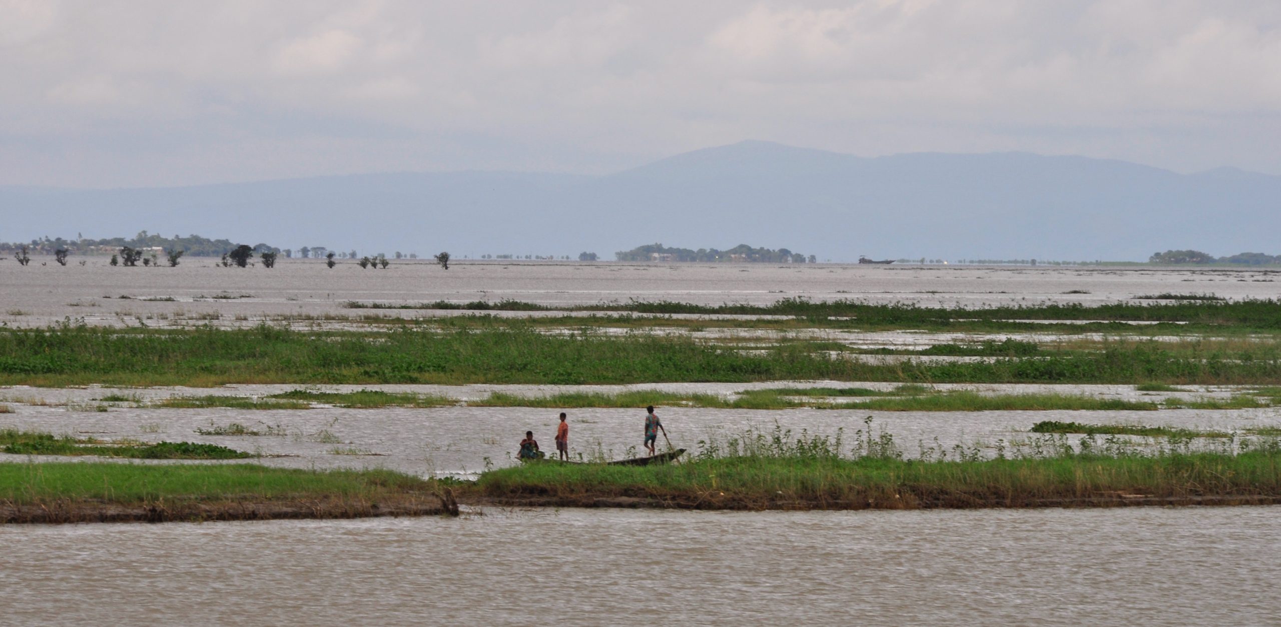
In satellite imagery, the authors of the new study spotted what they say was probably the former main channel of the river, some 100 kilometers south of the Bangladeshi capital of Dhaka. This is a low-lying area about 1.5 kilometers wide that can be found intermittently for some 100 kilometers more or less parallel to the current river course. Filled with mud, it frequently floods, and is used mainly for rice cultivation.
Evidence of Seismic Activity and River Channel Shift
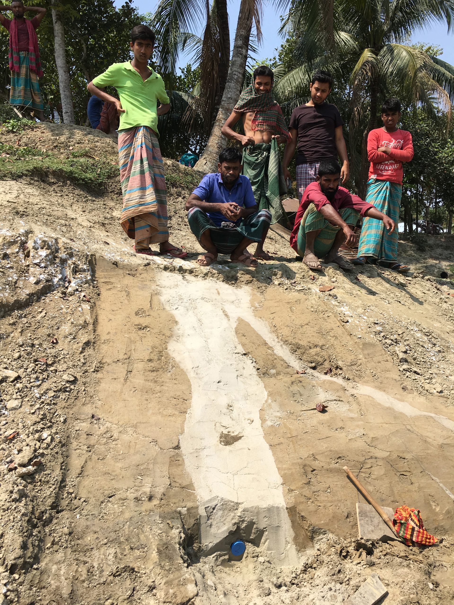
Chamberlain and other researchers were exploring this area in 2018 when they came across a freshly dug excavation for a pond that had not yet been filled with water. On one flank, they spotted distinct vertical dikes of light-colored sand cutting up through horizontal layers of mud. This is a well-known feature created by earthquakes: In such watery areas, sustained shaking can pressurize buried layers of sand and inject them upward through overlying mud. The result: literal sand volcanoes, which can erupt at the surface. Called seismites, here, they were 30 or 40 centimeters wide, cutting up through 3 or 4 meters of mud.
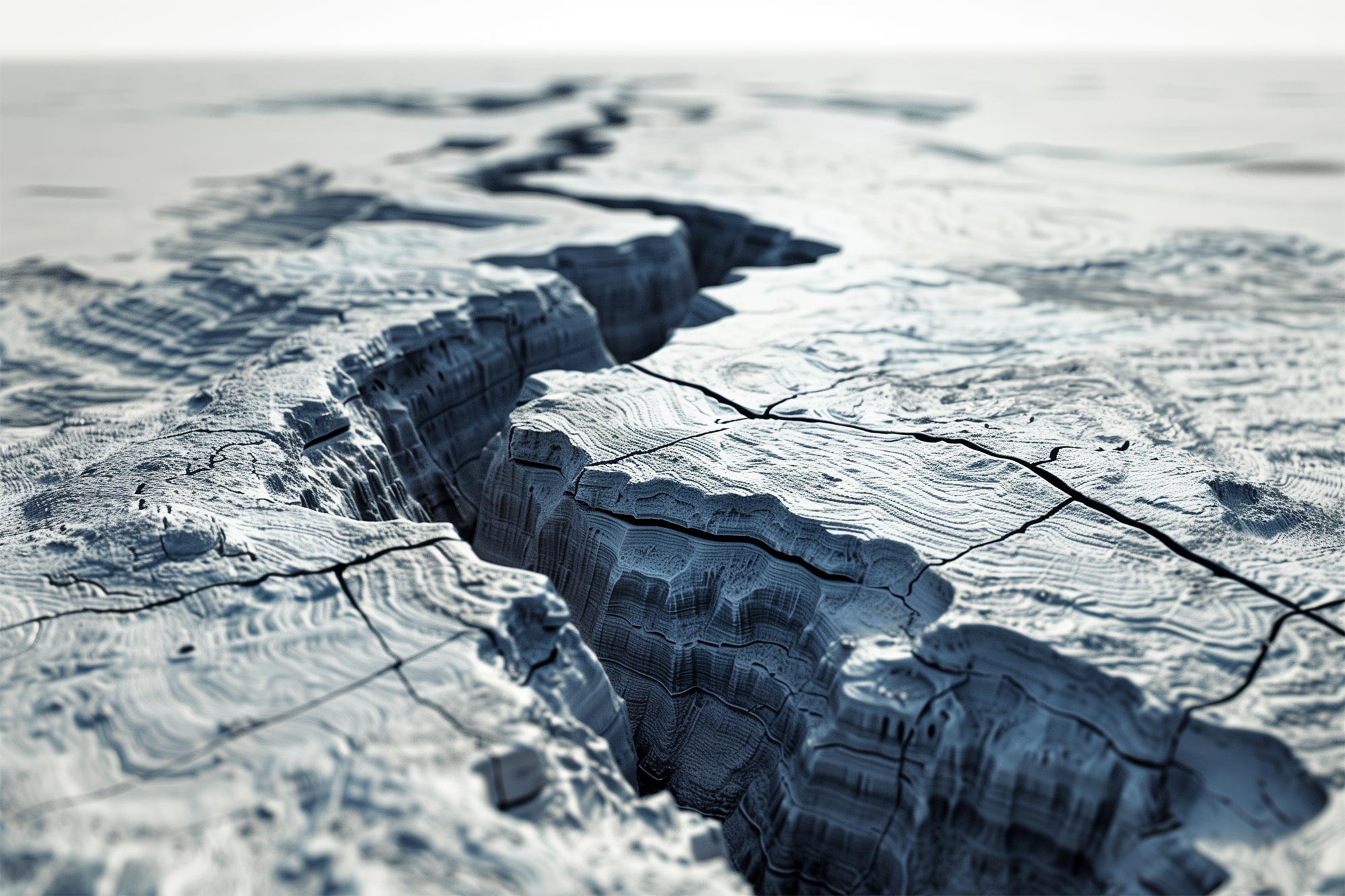
Further investigation showed the seismites were oriented in a systematic pattern, suggesting they were all created at the same time. Chemical analyses of sand grains and particles of mud showed that the eruptions and the abandonment and infilling of the channel both took place about 2,500 years ago. Furthermore, there was a similar site some 85 kilometers downstream in the old channel that had filled in with mud at the same time. The authors’ conclusion: This was a big, sudden avulsion triggered by an earthquake, estimated to be magnitude 7 or 8.
The quake could have had one of two possible sources, they say. One is a subduction zone to the south and east, where a huge plate of oceanic crust is shoving itself under Bangladesh, Myanmar, and northeastern India. Or it could have come from giant splay faults at the foot of the Himalayas to the north, which are slowly rising because the Indian subcontinent is slowly colliding with the rest of Asia. A 2016 study led by Steckler shows that these zones are now building stress, and could produce earthquakes comparable to the one 2,500 years ago. The last one of this size occurred in 1762, producing a deadly tsunami that traveled up the river to Dhaka. Another may have occurred around 1140 CE.
The 2016 study estimates that a modern recurrence of such a quake could affect 140 million people. “Large earthquakes impact large areas and can have long-lasting economic, social, and political effects,” said Syed Humayun Akhter, vice-chancellor of Bangladesh Open University and a coauthor on both studies.
The Ganges is not the only river facing such hazards. Others cradled in tectonically active deltas include China’s Yellow River; Myanmar’s Irrawaddy; the Klamath, San Joaquin, and Santa Clara rivers, which flow off the U.S. West Coast; and the Jordan, spanning the borders of Syria, Jordan, the Palestinian West Bank and Israel.
Reference: “Cascading hazards of a major Bengal basin earthquake and abrupt avulsion of the Ganges River” by Elizabeth L. Chamberlain, Steven L. Goodbred, Michael S. Steckler, Jakob Wallinga, Tony Reimann, Syed Humayun Akhter, Rachel Bain, Golam Muktadir, Abdullah Al Nahian, F. M. Arifur Rahman, Mahfuzur Rahman, Leonardo Seeber and Christoph von Hagke, 17 June 2024, Nature Communications.
DOI: 10.1038/s41467-024-47786-4
2 Comments
You left out the major reason for river course changes: meandering which doesn’t need floods or earthquakes or anything else.
Does climate change has an effect on donga erosion